 English
 ខ្មែរ


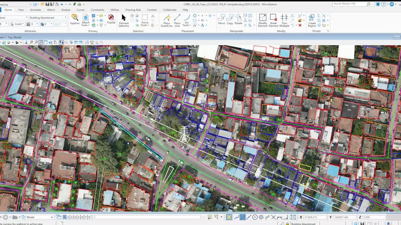

Connecting the Subsurface and Beyond: How Bentley Systems is Revolutionizing Infrastructure Collaboration
- 8 November 2026
Infrastructure data has traditionally lived in silos—scattered across 3D models, PDF blueprints, inspection reports, field photos, and IoT sensors. For project teams, bringing these disparate pieces together has long been a complex and fragmented challenge. Addressing this industry-wide hurdle, Bentley Systems has announced the launch of Bentley Infrastructure Cloud Connect, a foundational new layer designed […]

Transforming Infrastructure: How Bentley Systems is Spearheading the AI Revolution
- 7 November 2026
As global urbanization accelerates and the demand for resilient infrastructure surges, the engineering capacity gap remains one of the industry’s greatest hurdles. To address this challenge, Bentley Systems has unveiled a groundbreaking suite of next-generation, AI-powered capabilities designed to empower professionals rather than replace them. Grounded in real-world infrastructure context, these innovations aim to dramatically […]

Bentley announces the Bentley Technology Summit to be held in Toronto, Canada
- 1 November 2026
As urbanization accelerates and the demands on global infrastructure reach unprecedented heights, the industry stands at a major turning point. From managing complex subterranean geology for major metropolitan transit lines—like Vienna’s ambitious metro expansion using advanced 3D subsurface models—to navigating new paradigms in artificial intelligence and connected data, modern civil engineering is undergoing a massive […]

How a 3D Underground Model is Shaping Vienna’s Transit Future
- 31 October 2026
As Vienna’s population continues to surge and tourism hits record-breaking highs, the Austrian capital is looking downward to secure its future. The city is currently boring a brand-new metro line through some of the trickiest, most varied geological terrain in Europe—guided by an innovative 3D subsurface model that began, fittingly, on a rooftop. A Legacy […]

Bentley’s Year in Infrastructure Awards Opens in Singapore With a New Format, New Host, and 36 Finalists
- 25 October 2026
The people shaping the world’s infrastructure deserve an experience as extraordinary as the work they do. This year, Bentley built one. Bentley’s Year in Infrastructure Awards opened in Singapore with a new look. Now in its 22nd year, the event often called the “Oscars of Infrastructure” has a new host, a new keynote format, and […]
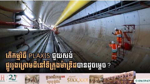
PLAXIS 2D Helps Model Madrid’s Traditional Tunnel Construction Method
- 24 October 2026
Engineers have developed a methodology using PLAXIS 2D to simulate tunnels built with the Traditional Method of Madrid (TMM), offering a faster alternative to complex three-dimensional analyses. Used in the Madrid Metro since 1917, the TMM divides tunnel excavation into small sections, typically less than 5 square meters. Each section is temporarily supported with timber […]