 English
  ខ្មែរ
ខ្មែរ 

Infrastructure Leaders Overcome Data Silos with Unified Reality Modeling
- 10 July 2026
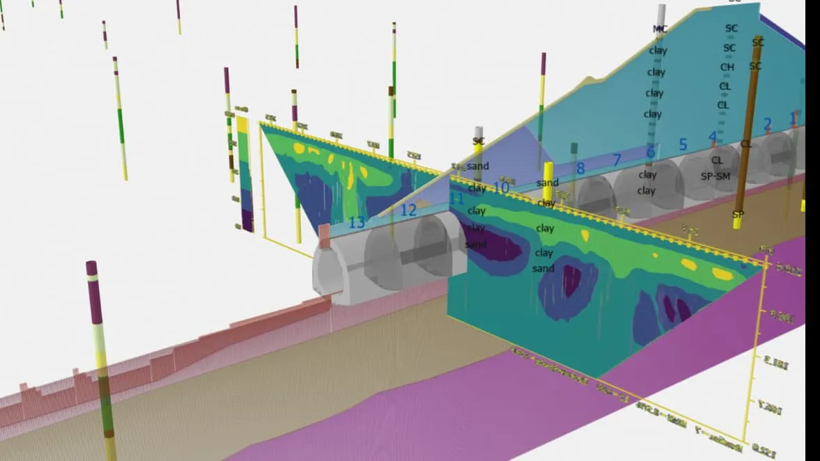
Infrastructure organizations are increasingly turning to Bentley Systems’ iTwin Capture suite to transform disjointed data into powerful, intelligent digital twins. Previously, project teams struggled with “data silos,” where incompatible formats from lidar, photogrammetry, and geospatial sensors remained isolated, preventing comprehensive site analysis. This manual, disconnected approach often led to slow, costly processes that hindered real-time […]

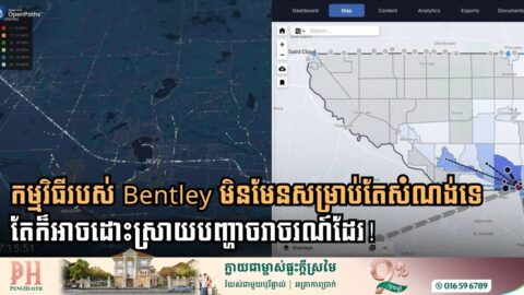
Construction Industry Leaders Converge in Berlin to Address Looming Infrastructure Data Crisis
- 28 June 2026
Industry analysts from Verdantix report that the infrastructure sector is facing a potential €12 trillion investment gap by 2040, driven largely by fragmented information that is often lost or siloed during project handovers. The warning is concluded at the Bentley Systems Illuminate 2026 conference where infrastructure experts gathered to address potential crisis within the industry. […]
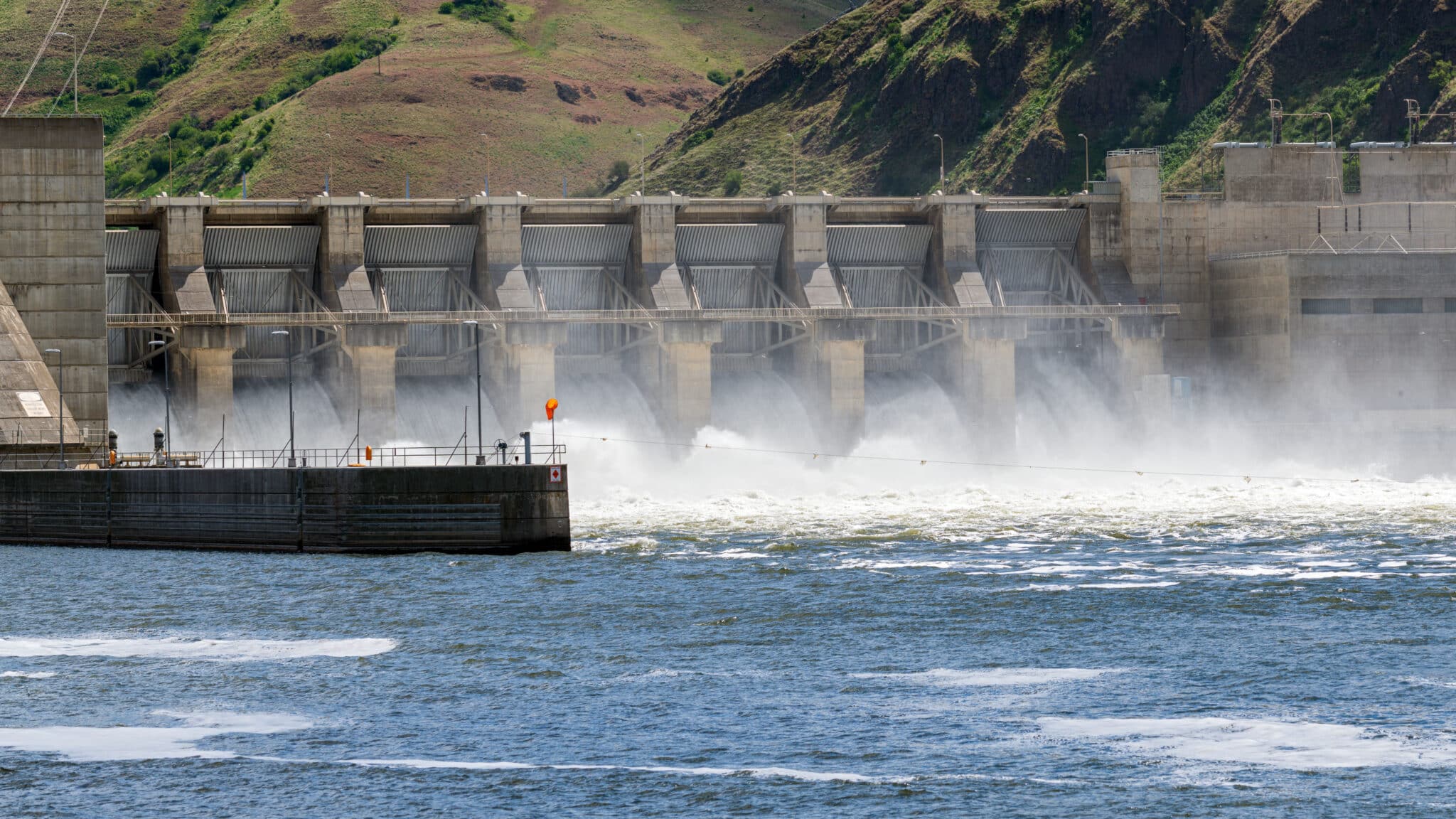
New Orleans Faces Rising Seas; Engineers Turn To Bentley Digital Tech To Fortify Defenses
- 31 May 2026
US engineers are leveraging Bentley Systems’ advanced technology to secure that the city will not sink into the water, transforming Louisiana into a potential global model for climate adaptation. A new Tulane University study has recently warned that rising sea levels could eventually push the Gulf of Mexico shoreline 62 miles inland, placing New Orleans […]

How Bentley Digital Twins is Reshaping Maritime Inspections
- 28 May 2026
Major engineering firm Haskoning has revolutionized maritime infrastructure inspection by successfully completing a digital-first assessment of the Holyhead Deepwater Jetty in North Wales using Bentley Systems software. A critical asset supporting cruise vessels and contributing over GBP 4.75 million annually to the regional economy, the aging jetty required a comprehensive inspection of its 400 piles […]
Big Data and Bentley Systems Software Transform Traffic Planning for Growing Communities
- 15 May 2026
Sherburne County, a rapidly expanding suburban area in Minnesota, has successfully streamlined its traffic modeling process by leveraging advanced software from Bentley Systems. To address increasing congestion and commuter pressure, consulting firm SRF implemented a mesoscopic modeling approach using Bentley OpenPaths Patterns and Bentley OpenPaths DYNAMEQ. This digital solution allows planners to move beyond the […]

Bentley Systems Bridges the Gap in Water Management with Digital Twin Technology
- 10 May 2026
ការគ្រប់គ្រងប្រព័ន្ធទឹកបែបថ្មីដោយប្រើបច្ចេកវិទ្យា Digital Twin! សន្សំបានរាប់លានដុល្លារ! ក្រុមហ៊ុនបង្កើតកម្មវិធីសំណង់ឌីជីថលលំដាប់ពិភពលោក Bentley Systems ថ្មីៗបានបង្ហាញនូវបច្ចេកវិទ្យាថ្មីមួយដើម្បីជួយឱ្យការគ្រប់គ្រងហេដ្ឋារចនាសម្ព័ន្ធប្រព័ន្ធផ្គត់ផ្គងទឹក កាន់តែមានប្រសិទ្ធភាព និងពិសេសអាចសន្សំថវិកាបានរាប់លានដុល្លារ តាមរយៈការប្ដូរពីគំរូធារាសាស្ត្រ (Hydraulic Modeling) បែបធម្មតាទៅជាបច្ចេកវិទ្យា “Digital Twin” បែបរស់រវើក។ កម្មវិធី OpenFlows របស់ Bentley បច្ចុប្បន្ននេះគឺអាចភ្ជាប់ប្លង់មេបែប 2D ធម្មតាៗ ទៅនឹងទិន្នន័យថ្មី ហើយបង្កើតជាប្រព័ន្ធគ្រប់គ្រងប្រតិបត្តិការបែបជាក់ស្តែងពិតៗ ឬ Real-time ដែលជួយឱ្យស្ថាប័នផ្គត់ផ្គង់ទឹកអាចមើលឃើញពីតថភាពជាក់ស្តែងនៃប្រព័ន្ធទឹកទាំងមូល ពិសេសសម្រាប់ការពិនិត្យរកកំហូច។ អត្ថប្រយោជន៍នៃការផ្លាស់ប្តូរនេះ កំពុងជួយស្ថាប័នគ្រប់គ្រងទឹកទូទាំងសកលលោក។ តាមរយៈការប្រើប្រាស់កម្មវិធីនេះ ក្រុមហ៊ុនវិស្វកម្មនៅក្នុងប្រទេសឥណ្ឌា និងប្រេស៊ីល បានរាយការណ៍ថា ពួកគេអាចកាត់បន្ថយពេលវេលារចនាម៉ូដបានរហូតដល់ ៨០% និងសន្សំសំចៃថវិការាប់លានដុល្លារលើថ្លៃដើមហេដ្ឋារចនាសម្ព័ន្ធ។ លើសពីការសាងសង់ បច្ចេកវិទ្យានេះក៏ជួយឱ្យអ្នកប្រតិបត្តិការអាចបង្កើនប្រសិទ្ធភាពកាលវិភាគម៉ាស៊ីនបូមទឹក កាត់បន្ថយការប្រើប្រាស់ថាមពល និងឆ្លើយតបបានកាន់តែរហ័សចំពោះបញ្ហាការបែកបំពង់ទឹក។ តាមរយៈការបញ្ចូលទិន្នន័យ SCADA ជាក់ស្តែង ស្ថាប័នដូចជា DC Water បច្ចុប្បន្នអាចធ្វើការសម្រេចចិត្តបានត្រឹមត្រូវ និងភ្លាមៗ ដើម្បីធានាបាននូវគុណភាពទឹក និងភាពធន់នៃប្រព័ន្ធសម្រាប់ប្រជាជនរាប់លាននាក់។ នាពេលអនាគត Bentley […]