Exploring Dutch water infrastructure masterpiece through Cesium 3D geospatial technology

The Netherlands is famous for its extremely low altitude, with a significant portion of the country lying below sea level. This paradox of living below water is only possible due to one of the world’s most extensive and sophisticated water management infrastructures.

Approximately one-third of the Netherlands is below sea level, and about two-thirds of the country is vulnerable to flooding from the sea or rivers. The lowest is the Zuidplaspolder, at approximately −6.76 meters (22 feet) below sea level.

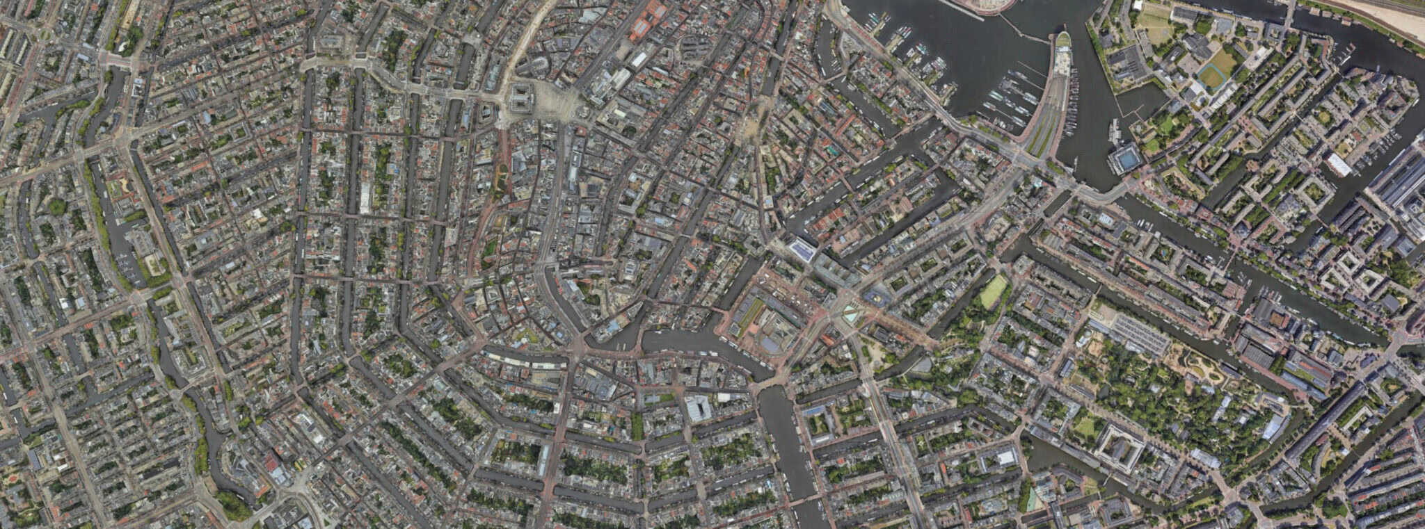
Meanwhile, the country’s capital, Amsterdam, and the surrounding area, including Schiphol Airport, are built on reclaimed land called polders and lie below sea level. Schiphol Airport is notoriously situated around −4 meters (13 feet) below sea level.

Why Amsterdam Doesn’t Flood: The Special Infrastructure

The Netherlands, and Amsterdam in particular, do not flood because of a centuries-old, complex, and constantly upgraded system known as the “Delta Works” and a layered flood defense strategy:

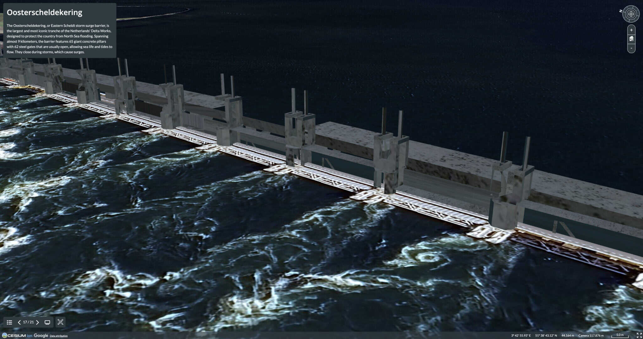
1. Dikes and Dams (Prevention): The primary defense is an immense network of natural coastal dunes and man-made dikes and levees that wall off the sea and rivers. The country has roughly 22,000 kilometers of dikes. Additionally, massive, movable engineering marvels, such as the Oosterscheldekering (Eastern Scheldt storm surge barrier) and the Maeslantkering, can be closed during severe storms to protect vast inland areas from North Sea surges.

2. Polders and Water Management (Control): The land below sea level is sectioned into polders (reclaimed land areas). Within these polders, water levels are actively controlled. Moreover, a complex system of canals, drainage ditches, and sluices also collects and channels excess water. Lastly, powerful pumping stations (historically, windmills) work continuously to pump water out of the low-lying polders and into higher-level canals and lakes (the boezem system), from where it can eventually be released into the sea at low tide. This keeps the low-lying areas dry.

3. Room for the River (Adaptation): Recognizing the risk of river flooding, the modern strategy involves “giving the water space.” Projects involve moving dikes further inland, creating high-water channels, and deepening river beds to increase the river’s capacity to safely carry water to the sea, rather than solely fighting it with higher dikes.

In short, the Netherlands maintains its dry land through a sophisticated, multi-layered system that not only prevents the sea from getting in (dikes/barriers) but also actively removes water that falls or seeps in (polders and pumps). This continuous, highly regulated water management is what makes the country habitable below sea level.

No wonder Bentley Systems, the global infrastructure engineering software company, chose Amsterdam to host its annual Year in Infrastructure and Going Digital Awards (YII), an event many in the industry consider the “Oscars of infrastructure.”

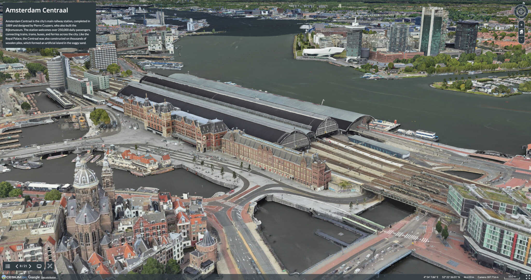
Starting Oct. 15, Bentley’s Year in Infrastructure will bring together global industry leaders to showcase excellence in infrastructure delivery and digital innovation. The two-day event features expert sessions, keynote speakers, and the prestigious Going Digital Awards, celebrating visionary projects in engineering, design, construction, and operations. To whet your appetite, we’ve built an interactive experience of the country’s infrastructure and main sights using Cesium 3D geospatial technology.

YII 2025 – Amsterdam | Cesium Stories

- Video Advertisement -

Related Post

China Uses Digital Twin  to Build First Large-scale Power Station in Karst Geology

Shanghai Investigation, Design & Research Institute Co., Ltd. (SIDRI) has used Bentley’s digital engineering and digital twin technologies to overcome complex geological challenges at the Caiziba Pumped-Storage Power Station in Fengjie County, Chongqing, China. The project is the first large-scale pumped-storage power station built in an area with complex karst geology, where caves, fissures, underground […]

Viscan Transforms B29 Highway Project With Digital Twin Technology

Viscan GmbH has transformed its reality capture workflow for the B29 highway expansion in Baden-Württemberg, turning an initially unreliable digital process into a high-performance digital twin system for one of Germany’s first fully digital construction sites. The B29 project includes nine new structures, bridges, and retaining walls. Viscan’s role was to provide construction teams and […]

AI Could Predict Infrastructure Failures Weeks in Advance

AI-powered analytics are helping infrastructure engineers move from reacting to failures toward predicting problems before they become emergencies, according to Vahid Abdollahi, an Applied AI Scientist at Bentley Systems. Traditional monitoring often alerts operators only after a measurement crosses a fixed threshold. AI, however, can analyze data from multiple sensors to identify unusual patterns and […]

Bentley iTwin Capture Helps Transform City-Scale Digital Twin Development Across India

Almondz Global Infra-consultants Limited is helping transform city-scale digital twin development across India through the Government of Gujarat’s Project NAKSHA. Using Bentley’s iTwin Capture, the company created highly accurate digital twins by processing more than 100 terabytes of drone, LiDAR, and geospatial data, including over 500,000 images. The project supports smarter urban planning, disaster management, […]

Bentley Systems Expands Carbon Analysis Tools for Infrastructure Projects

Bentley Systems is highlighting its carbon analysis software as a tool to help infrastructure organizations reduce emissions, improve project efficiency, and comply with increasingly strict environmental regulations. The software, available through Bentley Infrastructure Cloud, is designed to help engineers and project teams assess the carbon impact of infrastructure projects from the earliest stages of planning […]

Bentley Systems Highlights AI-Powered Digital Twins to Improve Infrastructure Data Management

At the Cesium Developer Conference, Bentley Systems showcased how its Cesium platform, iTwin technology, and new AI tools can help solve a major infrastructure challenge: keeping project data connected throughout an asset’s entire lifecycle. Industry experts noted that valuable information created during design is often lost when projects move from planning to construction and maintenance. […]