 English
  ខ្មែរ
ខ្មែរ 
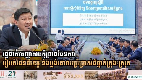
National Committee Approves Provincial Spatial Plans and Master Land-Use Frameworks Across Cambodia
- 17 October 2026

Deputy Prime Minister Say Samal and Transport Minister Peng Ponea chair high-level meeting to finalize master plans for 5 provinces and 7 municipalities and districts for Cabinet submission Phnom Penh: Establishing structured spatial frameworks and strategic master land-use plans has become an essential prerequisite for guiding economic development, environmental protection, and sustainable urbanization across Cambodia. […]
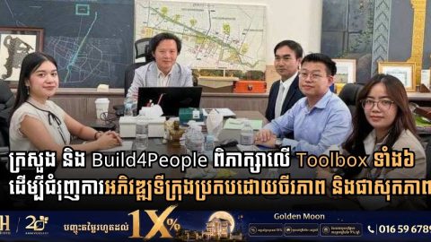
Ministry of Land Management and Build4People Review ‘6 Toolboxes’ to Advance Sustainable and Liveable Urban Development in Cambodia
- 15 September 2026
High-level meeting underscores a paradigm shift from traditional infrastructure construction toward people-centered, environmentally integrated, and holistic urban planning Phnom Penh: Rapid urbanization across Cambodia is reshaping the physical landscape, driving policy decisions that balance structural expansion with environmental preservation and community well-being. On September 4, 2026, Secretary of State H.E. Ly Rasmey convened a strategic […]
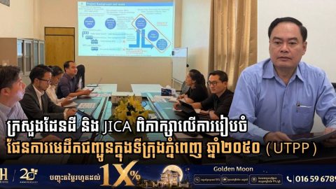
Ministry of Land Management and JICA Align Phnom Penh Urban Transport Master Plan 2050 with Capital Land Use Vision
- 14 September 2026
Strategic meeting reviews study findings and integrates urban mobility framework into future spatial planning to ensure sustainable metropolitan growth Phnom Penh: Aligning infrastructure growth with comprehensive spatial planning remains a cornerstone strategy for the Royal Government of Cambodia in managing rapid urban expansion and enhancing the quality of life in the capital. Following the meeting […]
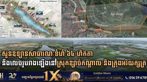
Cambodian Land Ministry Inspects 64-Hectare Public Park Developments in Kandal Province
- 10 September 2026
Secretary of State H.E. Chhoeun Bunnarat leads site review for Boeng Tboung and Boeng Damrei Srut park projects to expand green urban spaces across Khsach Kandal and Arey Ksat Kandal Province: Expanding green public zones and protecting natural ecosystems surrounding the capital have become core tenets of Cambodia’s sustainable urbanization agenda. On September 1, 2026, […]
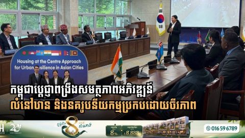
Cambodia Enhances Sustainable Urban Planning Capacity Through Regional Training in South Korea
- 2 September 2026
Housing ministry delegates participate in UN-Habitat supported program focusing on the “Housing at the Centre” approach to build climate resilience across Asian cities Gangwon State: As rapid urbanization and environmental vulnerabilities continue to reshape municipalities across Asia, sustainable housing strategies have emerged as a critical foundation for resilient urban development. Addressing these systemic challenges, delegates […]
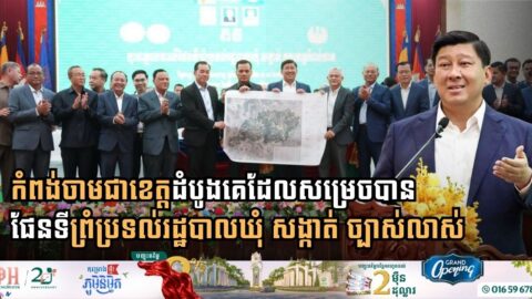
Kampong Cham Becomes First Cambodian Province to Finalize Precise Local Administrative Boundary Maps
- 8 June 2026
Landmark mapping initiative paves the way for advanced economic corridors, digital integration with Google Maps, and comprehensive rural modernization under the Pentagonal Strategy In a historic milestone for Cambodia’s local governance and territorial management, Kampong Cham has officially become the first province in the nation to establish accurate, clear, and definitive administrative boundary maps for […]