 English
 ខ្មែរ


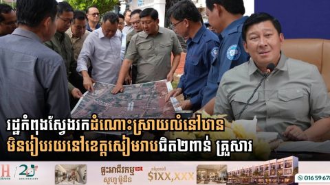
Cambodia’s Land Ministry Steps Up Efforts to Secure Proper Housing for Informal Settlers in Siem Reap
- 17 November 2026

Government authorities are actively surveying and planning comprehensive support measures for nearly 2,000 households living in informal settlements across Siem Reap province. The Ministry of Land Management, Urban Planning and Construction, on August 12, 2026, announced that the Royal Government of Cambodia is intensifying its commitment to finding sustainable housing solutions and secure living conditions […]
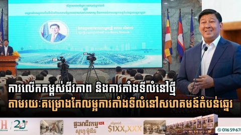
Improving Livelihoods and Resettlement through the Coastal Community Settlement Improvement Project
- 9 November 2026
Strategic Frameworks for Affordable Housing and Resilient Local Economic Development to Empower Vulnerable Communities Phnom Penh: The Royal Government’s unwavering commitment to citizen welfare and secure housing took a major leap forward as the Ministry of Land Management, Urban Planning and Construction convened the National Consultative Workshop on the Integrated and Resilient Community Resettlement Improvement […]
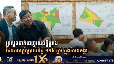
Land Ministry Unveils Draft Land-Use Plan Covering 114 Villages Across Angkor Heritage Park
- 26 September 2026
Spatial Planning Committee opens public consultations for 401 square kilometers across Banteay Srei, Central Angkor Park, and Roluos zones in compliance with 1994 Royal Decree Siem Reap: Establishing a transparent and equitable spatial planning framework inside the Angkor World Heritage Site has marked another significant milestone as Cambodian authorities move to address community land needs […]
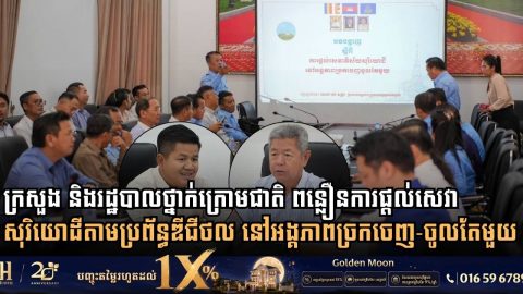
Ministry of Land Management and Kandal Administration Move to Accelerate Cadastral Services via One Window Service Unit
- 16 September 2026
Inter-institutional meeting addresses land title processing delays, pushes digital service integration, and establishes spatial land-use plans across all 13 districts Kandal Province: Modernizing land administration and streamlining public service delivery remain fundamental priorities for Cambodian authorities as urban expansion and property transactions accelerate. On September 5, 2026, H.E. Chhoeun Bunnarat, Secretary of State at the […]
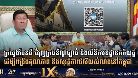
Cambodia’s Land Ministry Expands Legal Framework with Over 230 Regulatory Instruments to Upgrade Construction and Urban Standards
- 13 September 2026
Ministry enacts 65 legal codes and advances 165 draft regulations to ensure safety, structural quality, and sustainable urban development across the Kingdom Phnom Penh: Establishing a comprehensive legal framework and clear technical guidelines remains a foundational priority for the Royal Government of Cambodia in regulating urban development and building practices. In early September, the Ministry […]
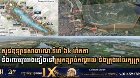
Cambodian Land Ministry Inspects 64-Hectare Public Park Developments in Kandal Province
- 10 September 2026
Secretary of State H.E. Chhoeun Bunnarat leads site review for Boeng Tboung and Boeng Damrei Srut park projects to expand green urban spaces across Khsach Kandal and Arey Ksat Kandal Province: Expanding green public zones and protecting natural ecosystems surrounding the capital have become core tenets of Cambodia’s sustainable urbanization agenda. On September 1, 2026, […]