 English
  ខ្មែរ
ខ្មែរ 
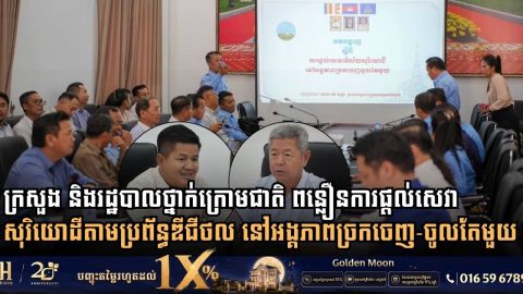
Ministry of Land Management and Kandal Administration Move to Accelerate Cadastral Services via One Window Service Unit
- 16 September 2026
Inter-institutional meeting addresses land title processing delays, pushes digital service integration, and establishes spatial land-use plans across all 13 districts Kandal Province: Modernizing land administration and streamlining public service delivery remain fundamental priorities for Cambodian authorities as urban expansion and property transactions accelerate. On September 5, 2026, H.E. Chhoeun Bunnarat, Secretary of State at the […]
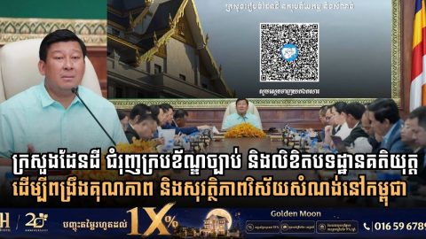
Cambodia’s Land Ministry Expands Legal Framework with Over 230 Regulatory Instruments to Upgrade Construction and Urban Standards
- 13 September 2026
Ministry enacts 65 legal codes and advances 165 draft regulations to ensure safety, structural quality, and sustainable urban development across the Kingdom Phnom Penh: Establishing a comprehensive legal framework and clear technical guidelines remains a foundational priority for the Royal Government of Cambodia in regulating urban development and building practices. In early September, the Ministry […]
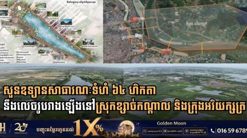
Cambodian Land Ministry Inspects 64-Hectare Public Park Developments in Kandal Province
- 10 September 2026
Secretary of State H.E. Chhoeun Bunnarat leads site review for Boeng Tboung and Boeng Damrei Srut park projects to expand green urban spaces across Khsach Kandal and Arey Ksat Kandal Province: Expanding green public zones and protecting natural ecosystems surrounding the capital have become core tenets of Cambodia’s sustainable urbanization agenda. On September 1, 2026, […]
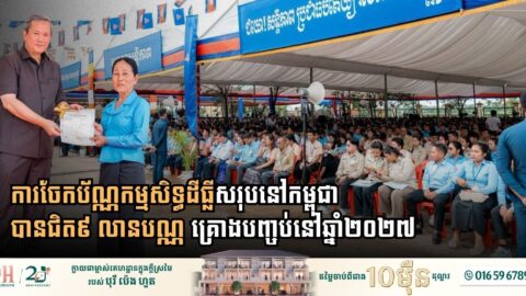
Cambodia Accelerates Nationwide Land Titling Drive Towards Complete Ownership Coverage by 2027
- 5 August 2026
Prime Minister Samdech Thipadei Hun Manet oversees the distribution of over 23,000 ownership certificates in Kandal province as total titles distributed reach nearly 9 million across the Kingdom Cambodia’s national campaign to secure property rights and streamline land administration is approaching its final stages, with complete nationwide title distribution targeted for 2027. Presiding over a […]
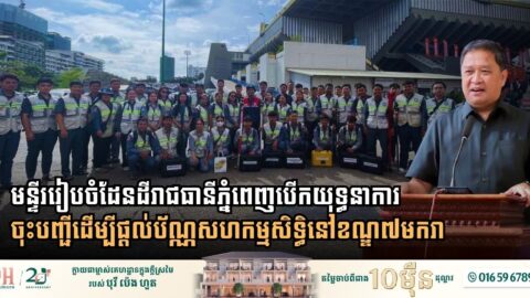
Cambodia Launches Co-Ownership Titling Drive in Khan 7 Makara to Boost Urban Land Security and Regional Competitiveness
- 3 August 2026
Phnom Penh: In a major push to modernize urban land governance and align its property rights framework with regional standards, the Phnom Penh Municipal Administration, in collaboration with the Phnom Penh Department of Land Management, Urban Planning, Construction, and Cadastral, has officially launched systematic land registration and co-owned unit titling across Khan 7 Makara. This […]
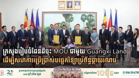
MLMUPC Signs MoU with Guangxi Land to Enhance Land and Urban Management via Satellite Technology
- 1 August 2026
The partnership aims to modernize cadastral mapping, urban planning, and spatial data infrastructure, bolstering Cambodia’s competitive standing within ASEAN Phnom Penh: Amid intensifying regional competition across Southeast Asia to build smart cities and modern spatial infrastructure, Cambodia has made a decisive move to integrate space technology into its land management framework. On July 28, 2026, […]